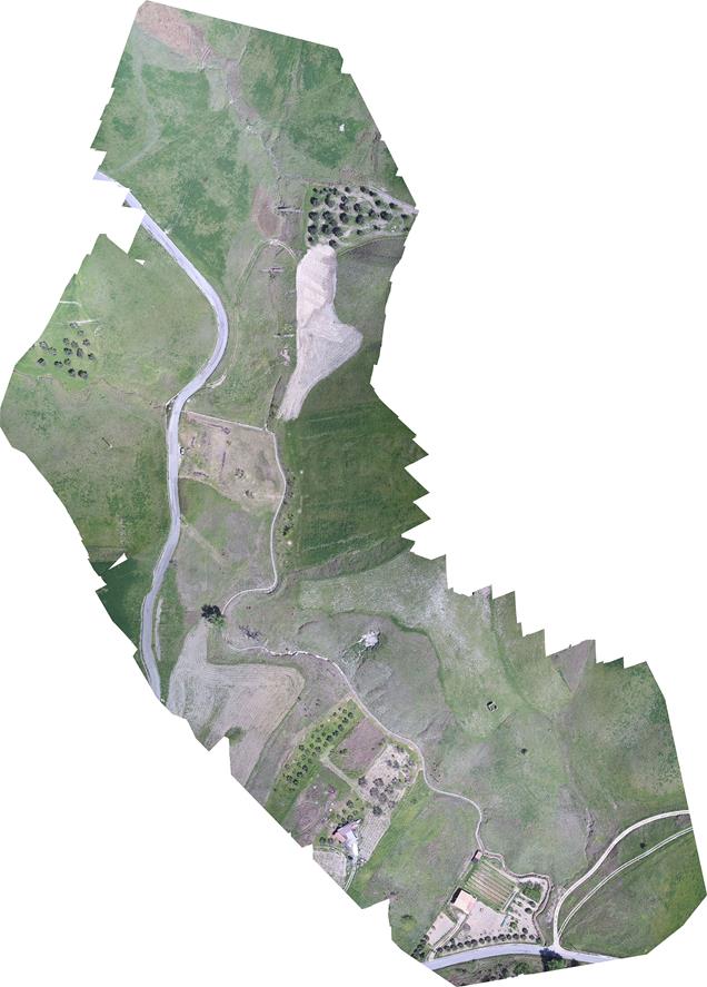
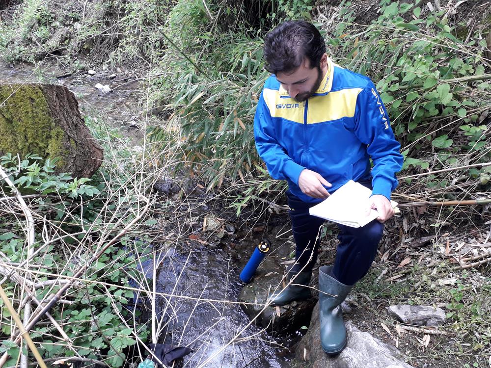
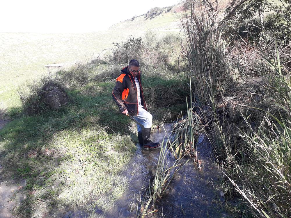
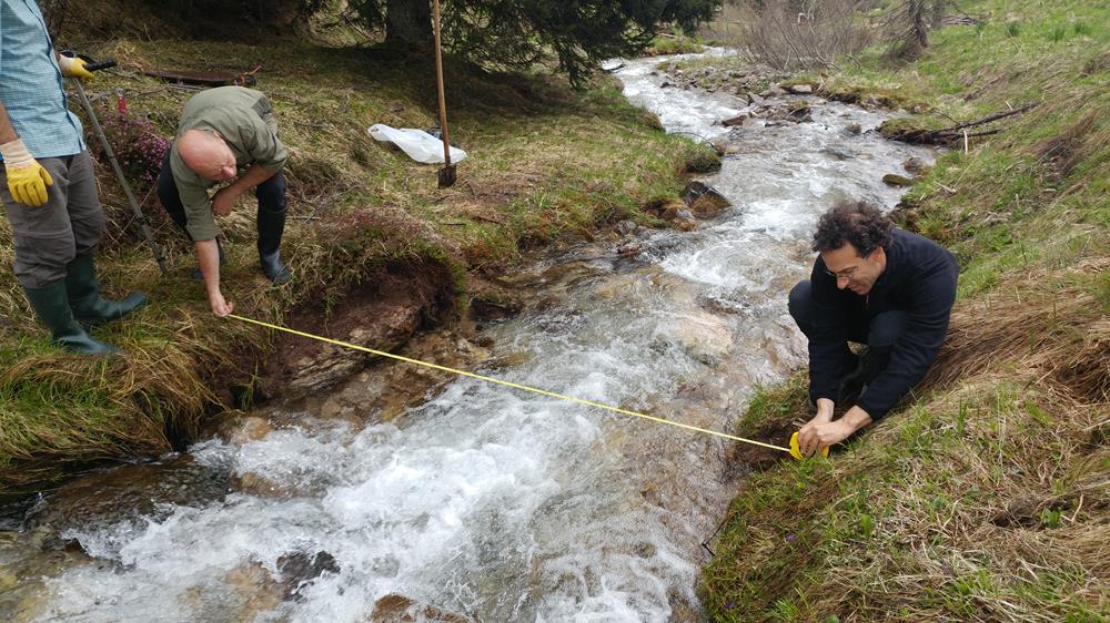
Sites
The experimental activities of the DyNET project will be developed in 4 different sites along a climatic gradient from the northern side of the Alps to Southern Italy, namely the Rietholzbach creek (CH), the Valfredda creek (IT), the Montecalvello creek (IT) and the Turbolo creek (IT).
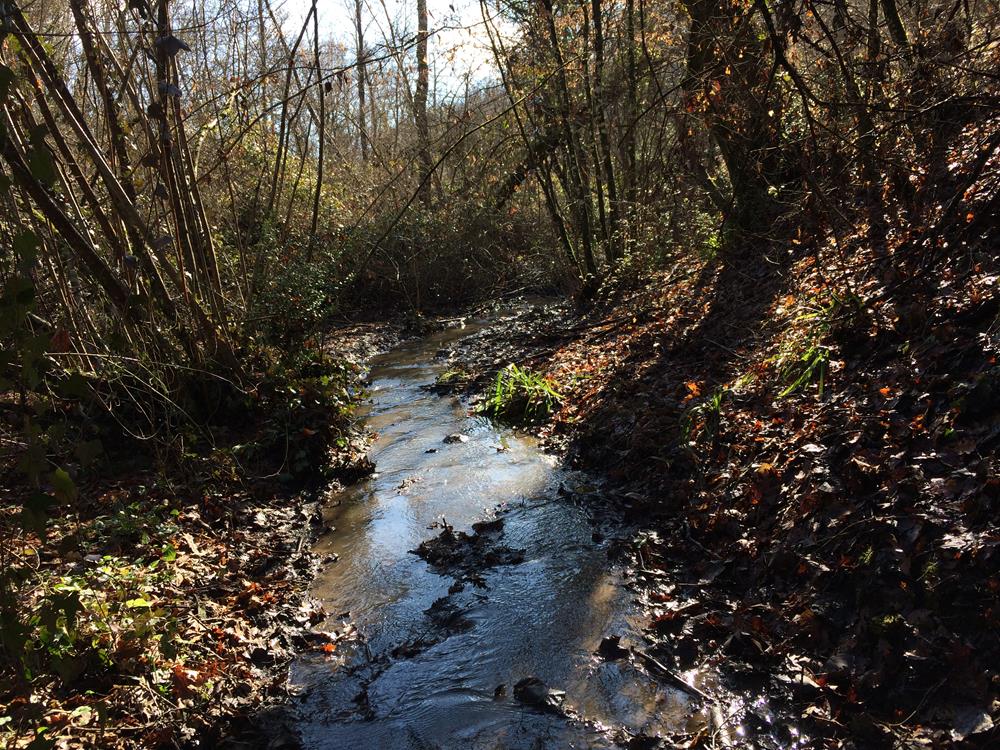
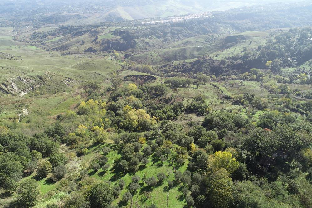
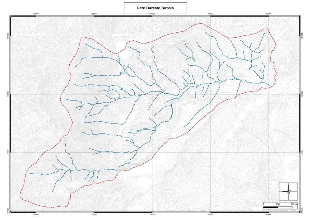
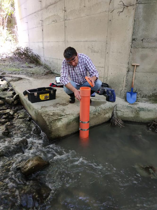
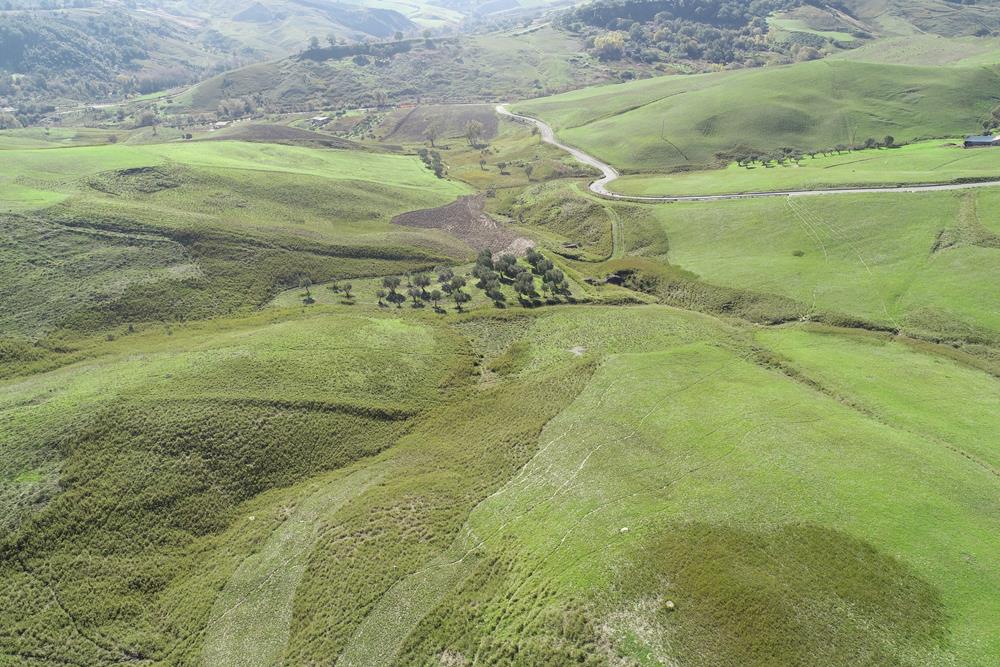
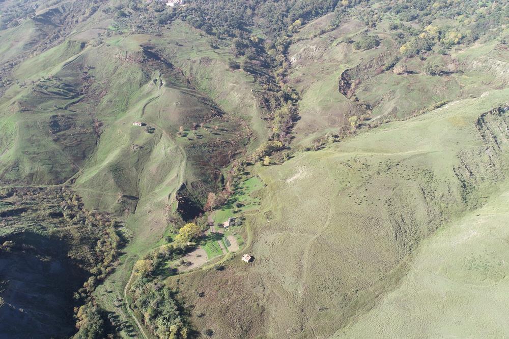
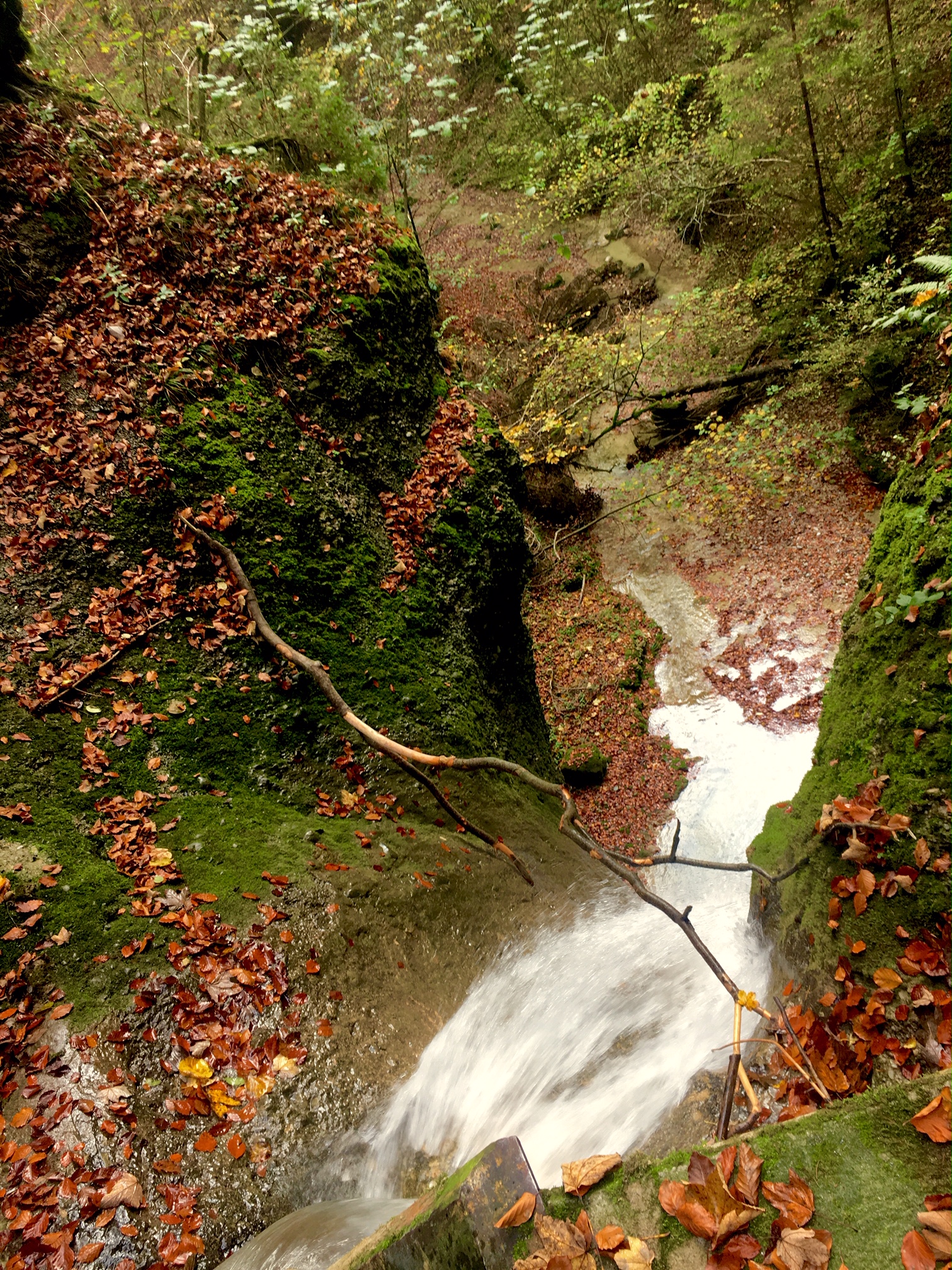
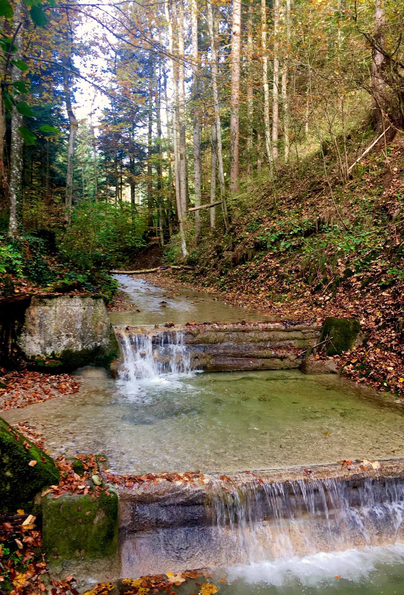
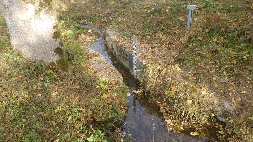
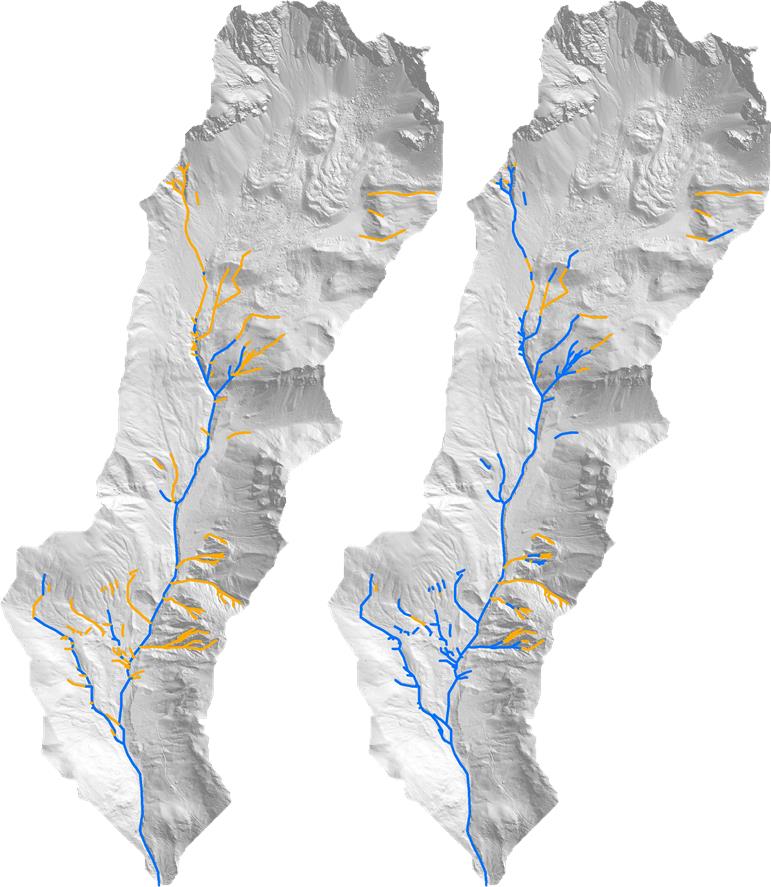
Turbolo
The Turbolo creek is a small unregulated subcatchment in the Northen part of the Crati basin, in Southern Italy (Calabria).
The catchment area is about 29 km2, with an elevation ranging from 75 to 1015 m a.s.l. and a mean slope of 28%. Geology varies from metamorphic rocks in the Western part to silty clay and alluvial deposits in the valleys.
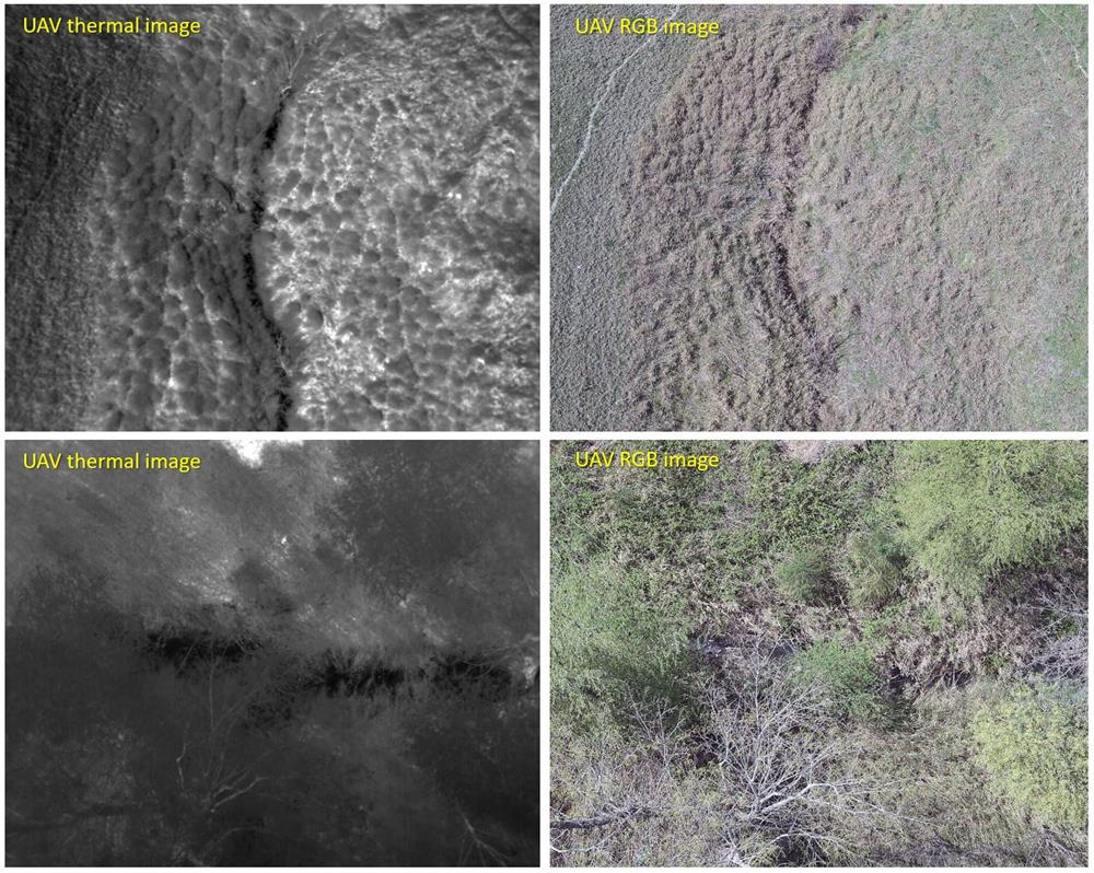
Main land uses are deciduous forests, olive groves and agricultural areas.
The average annual precipitation is approximately 1100 mm. The typical Mediterranean climate strongly affects the seasonal water budget of this catchment.
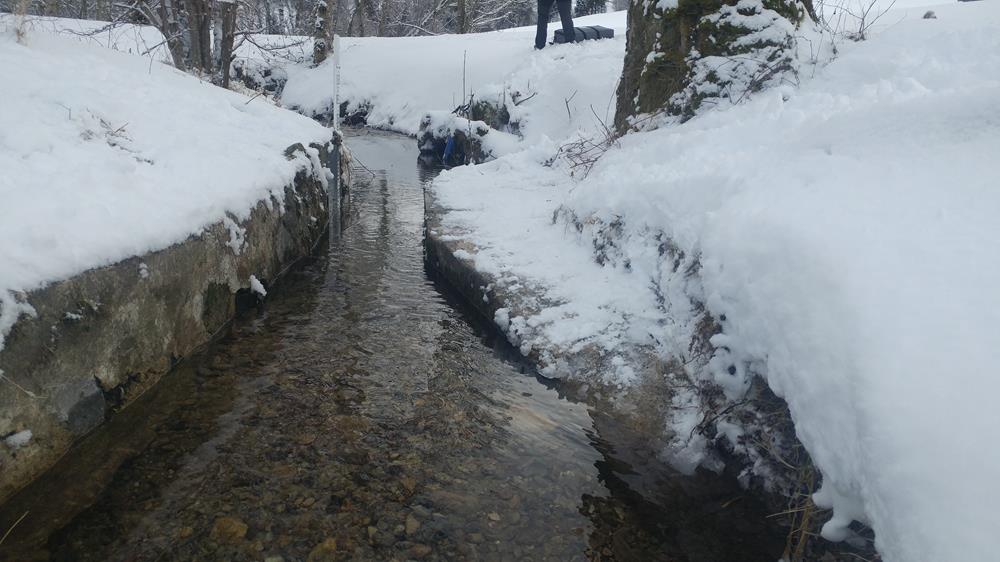
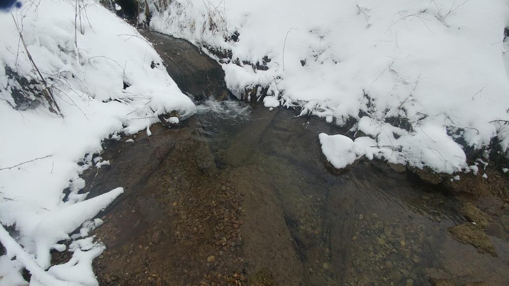
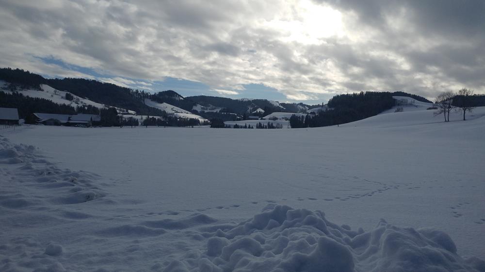
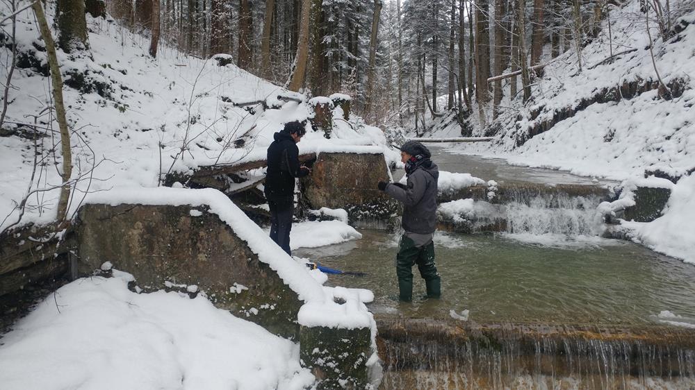
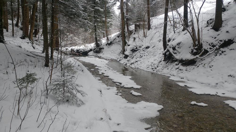
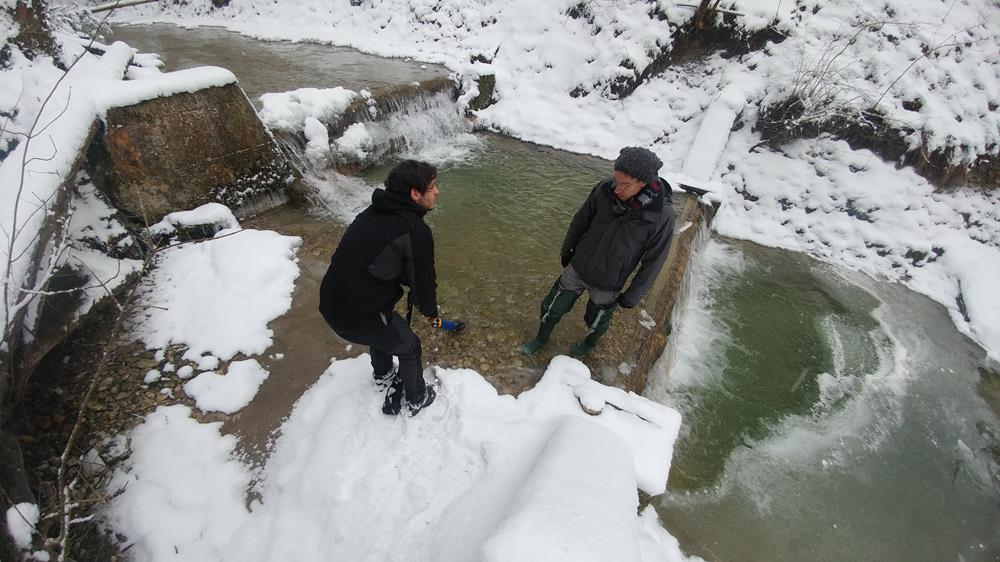
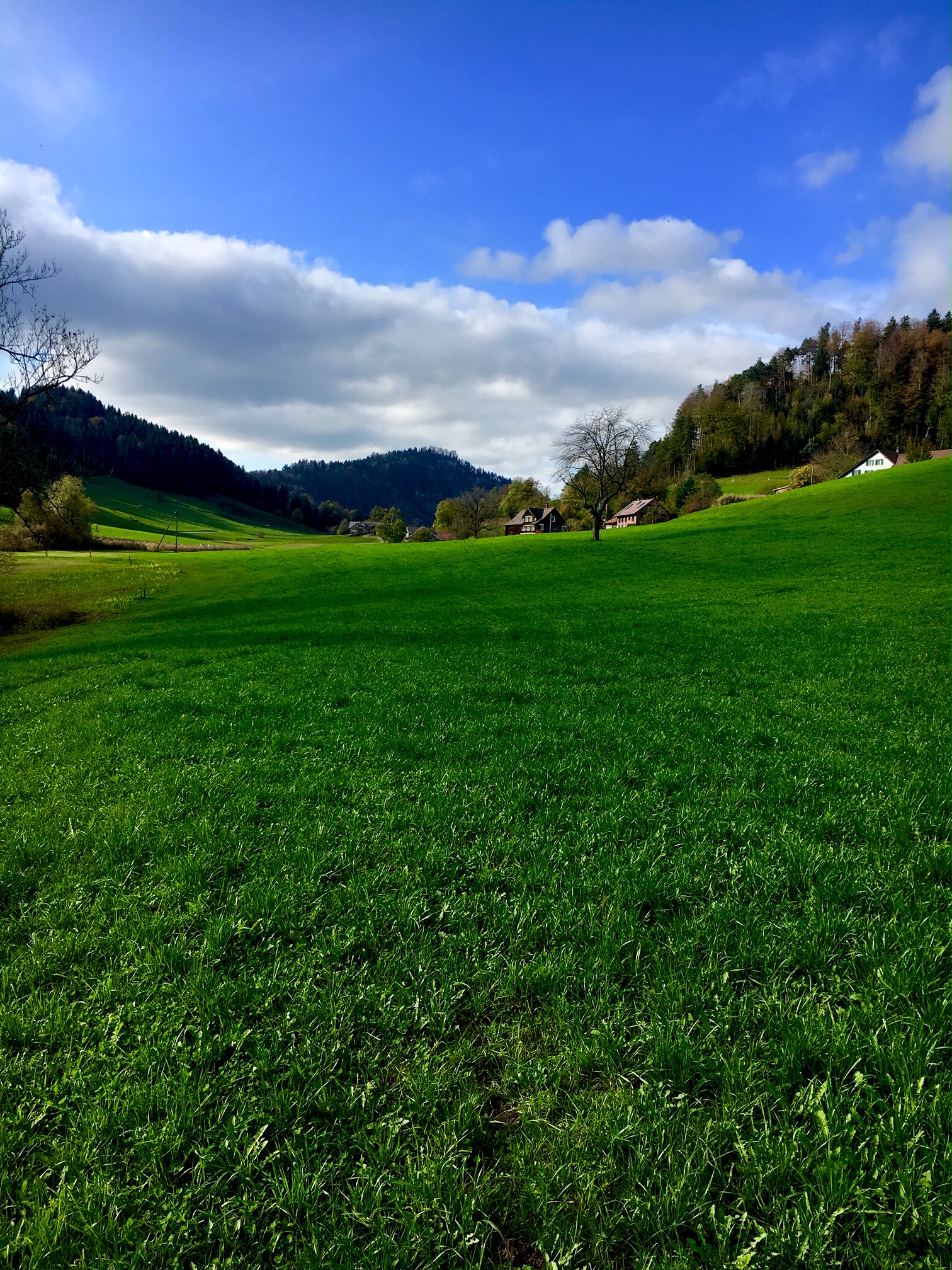
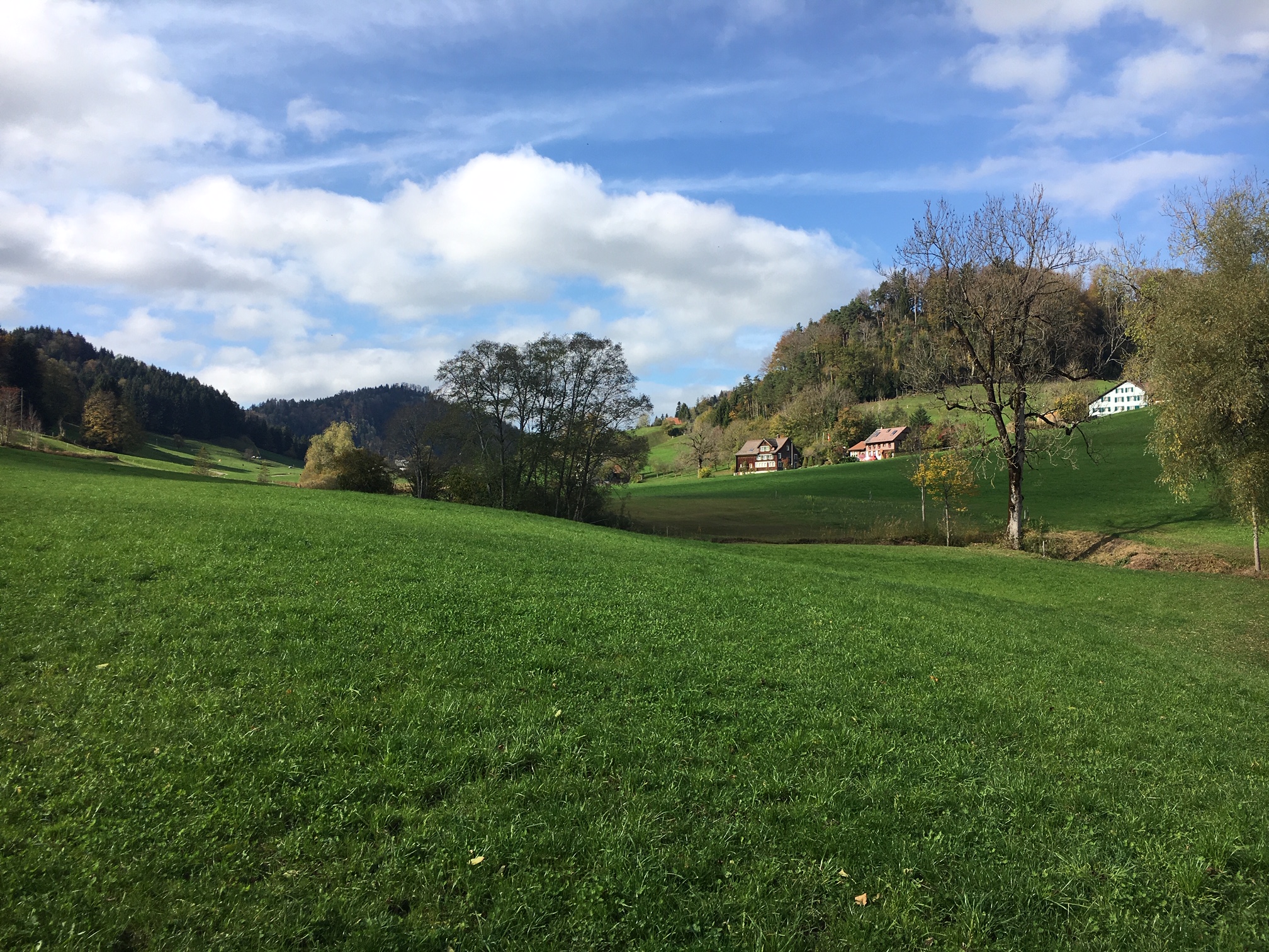
Rietholzbach
The Rietholzbach catchment has a maximum contributing area of about 10 km2 and is a tributary of the Thur river, in Northeastern Switzerland.
The local climate is pre-alpine, and it is characterized by temperate humid conditions with high rainfall rates in late spring and summer.
Annual precipitation is around 1450 mm and the mean temperature is 8 °C. Maximum elevations are below 1000 m a.s.l. Snow dynamics are observed in the winter (december to march).
Around 72 % of the land surface is used as pastureland, while 19 % is forested, with limited urban areas.
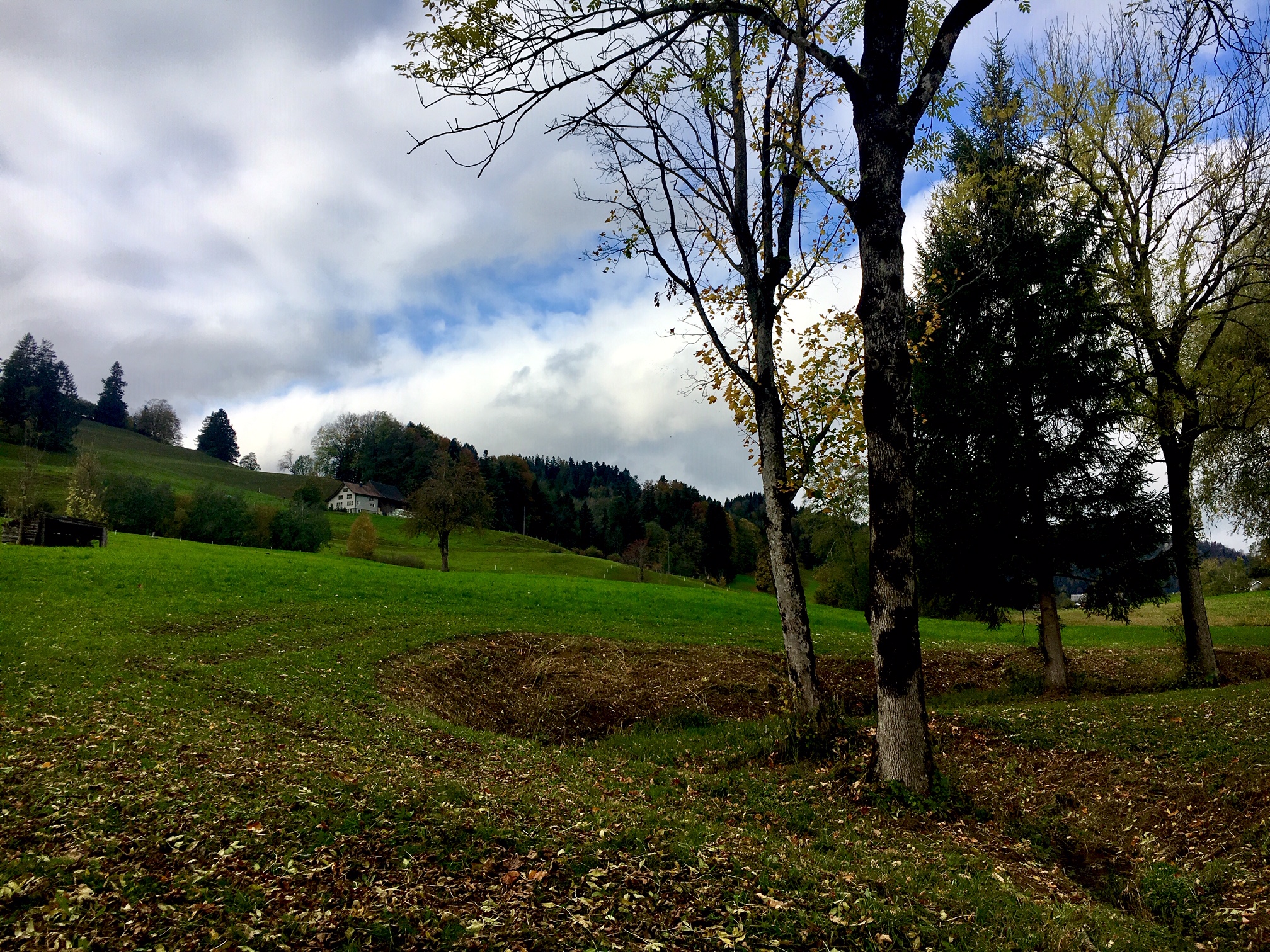
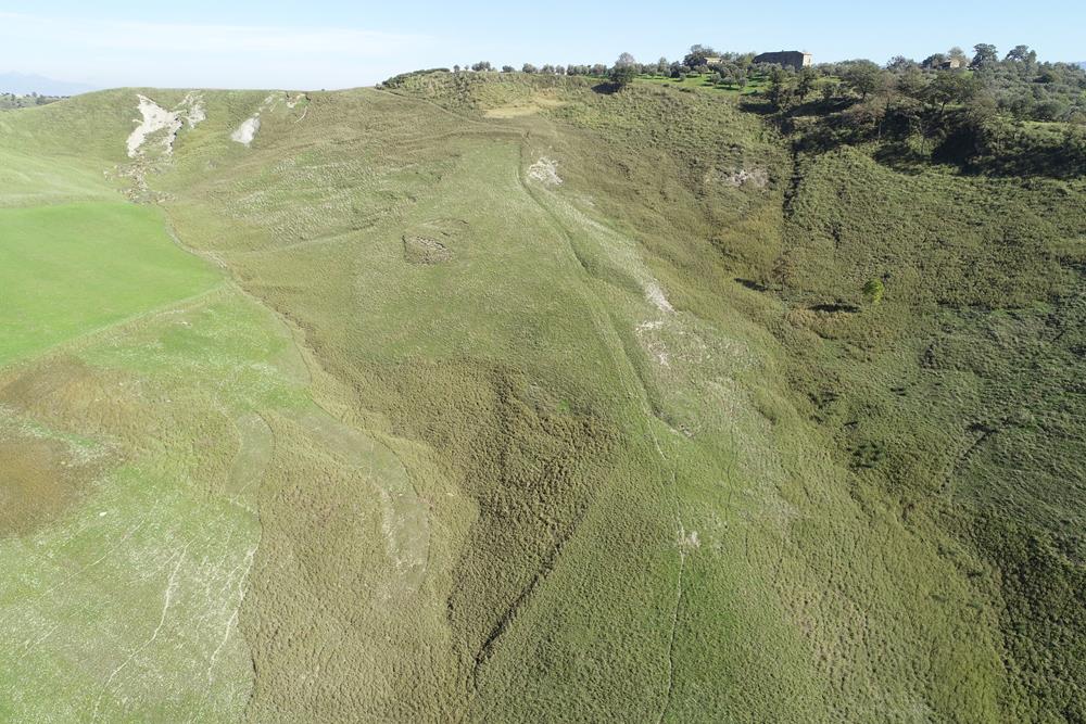
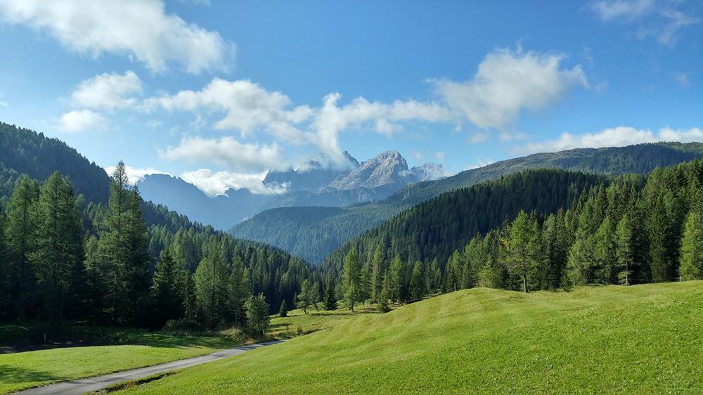
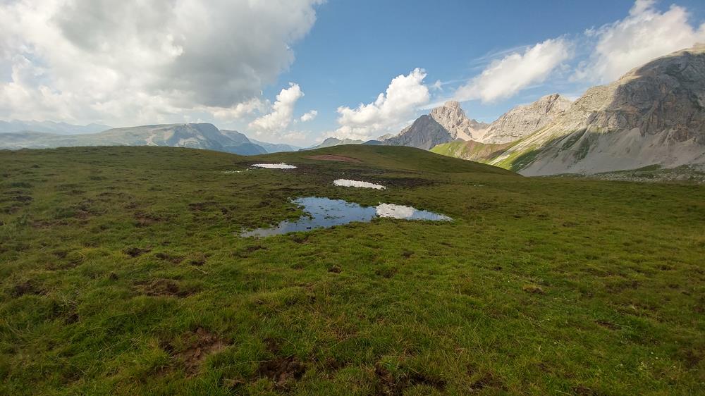
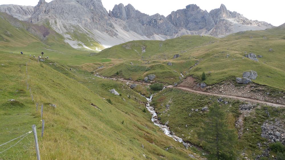
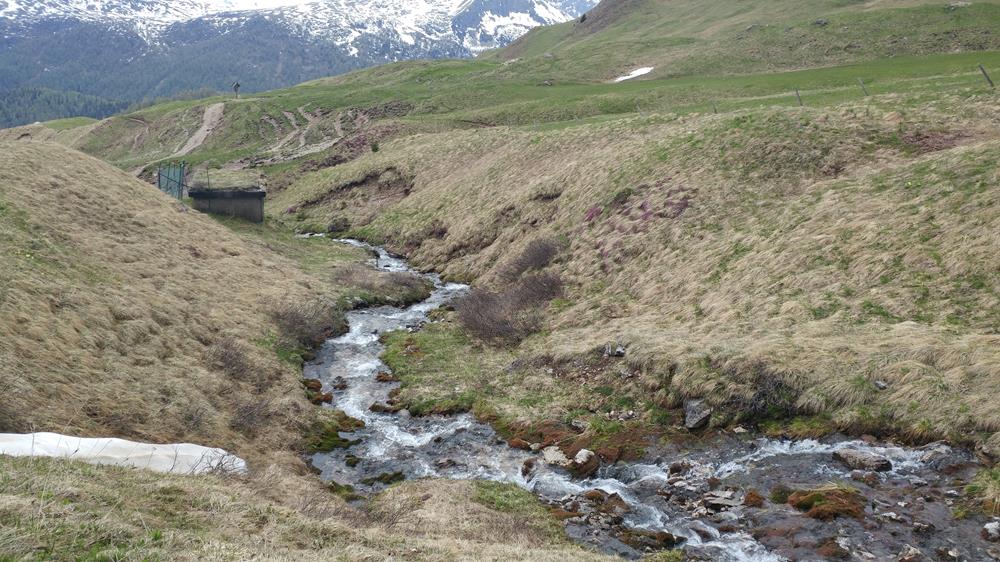
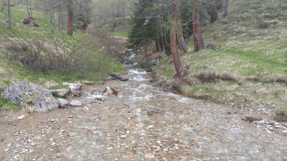
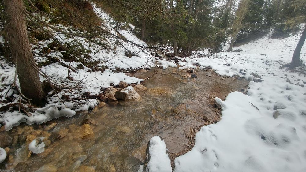
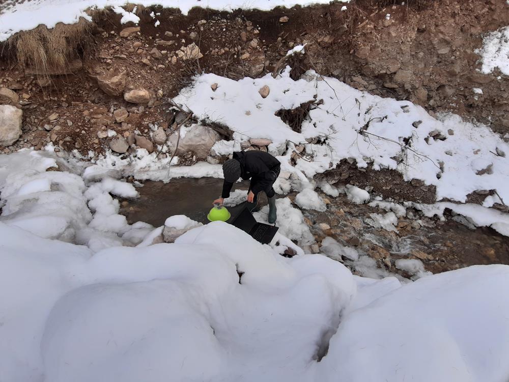
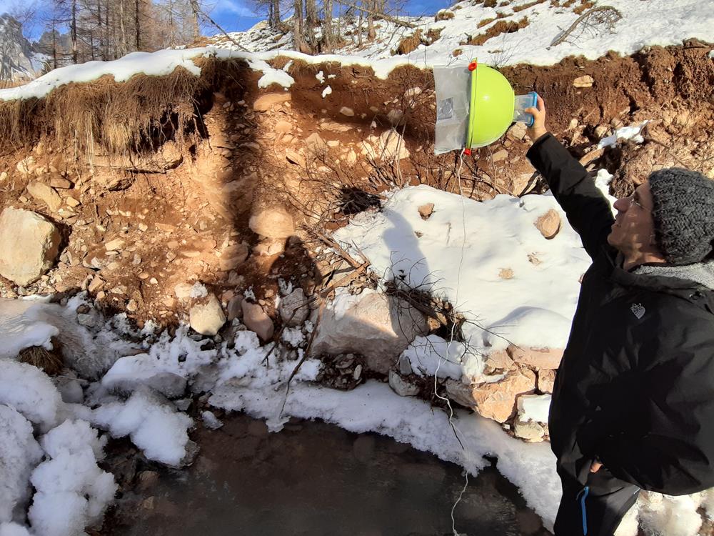
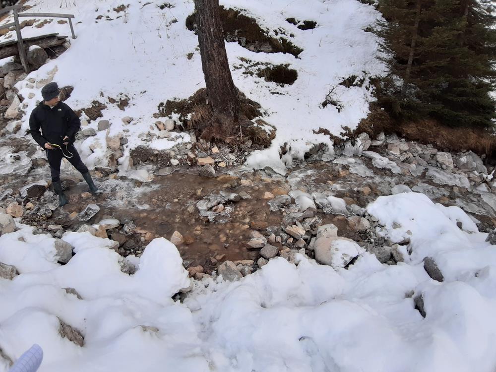
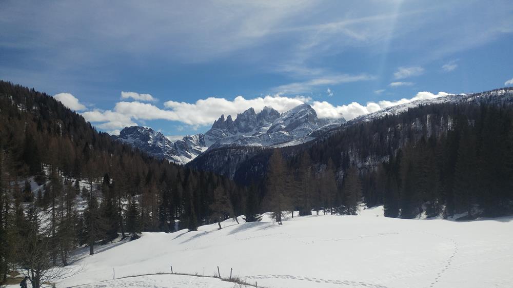
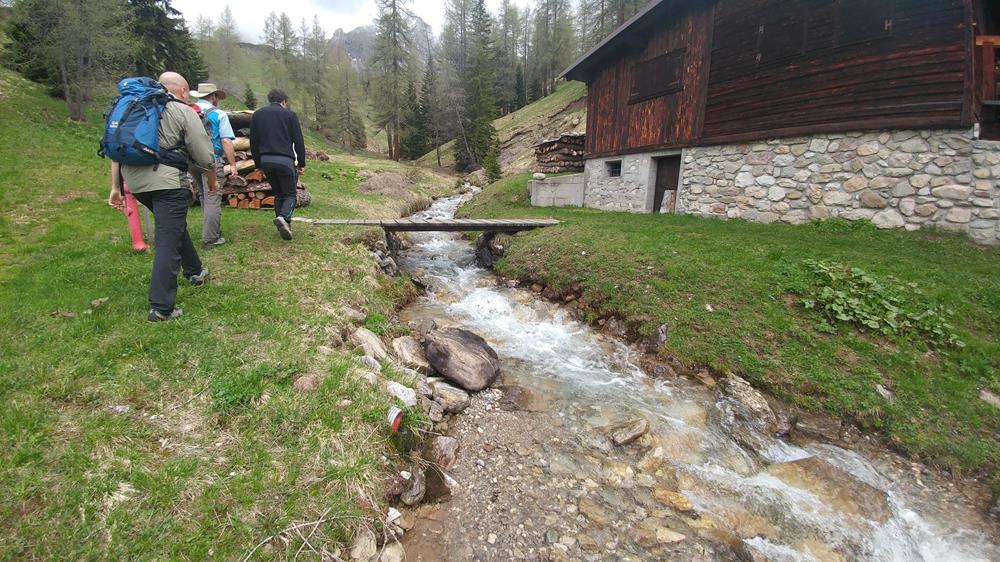
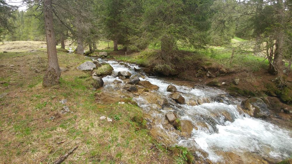
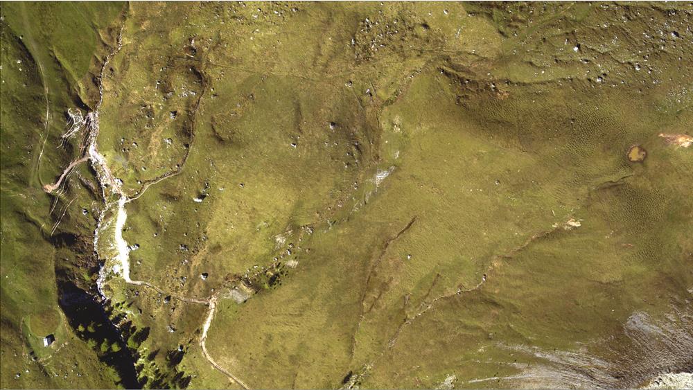
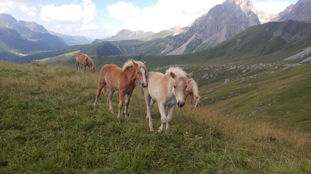
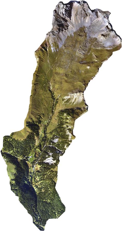
Valfredda
The Rio Valfredda is a small pristine tributary of the Piave basin, in North Eastern Italy. The Valfredda creek flows from North to South, eastern of Passo S. Pellegrino and close to Falcade (BL).
The maximum contributing area at the confluence with the Biois river is about 7.5 km2. The elevations range from 3000 to 1600 m a.s.l.
The mean precipitation is about 1300 mm/year, with significant snow dynamics in winter and spring. The mean annual temperature in the catchment is about 4°C, and most of the soil use is pasture or grass, with rock emergencies in the uppermost parts of the catchment. Forests are also observed in the lower catchment.


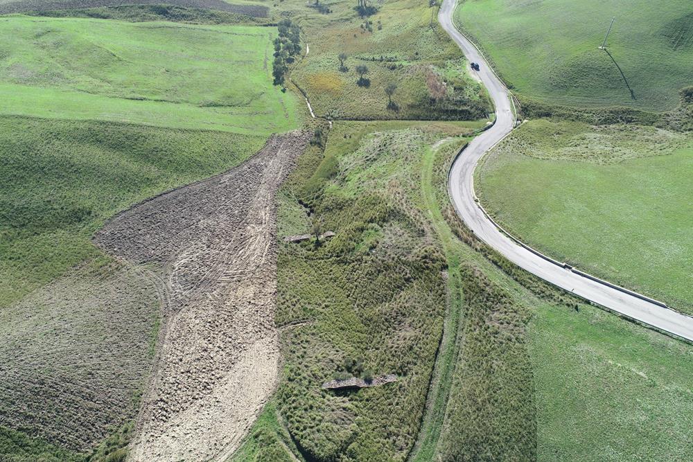
Montecalvello
The Montecalvello creek is a tributary of the Tiber river, in Central Italy. The whole catchment area is located in the province of Viterbo. The drainage area is about 7.3 km2 with a maximum length of the main stream of about 5 km.
The maximum relief is 268 m (from 342 m a.s.l to 74 m a.s.l.). The mean precipitation is about 800 mm, mainly concentrated during the winter. Mean temperatures vary seasonally between 6 °C (January) to 24 °C (July).
The catchment soil uderlies some volcanic rock formations, with clays and sandy clays layers that are observed close to the outlet. The major soil uses are forest and agricultural areas, with a limited presence of urban areas.