Methods
WATER QUALITY – BIOGEOCHEMISTRY
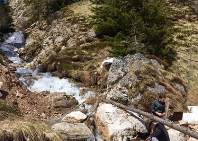
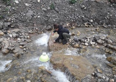
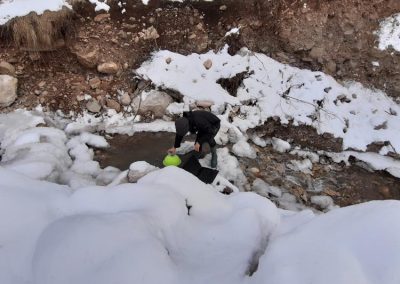
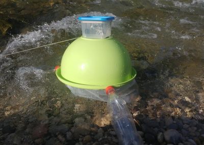
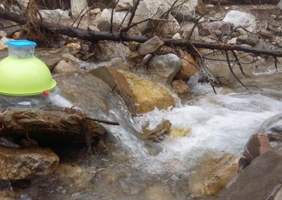
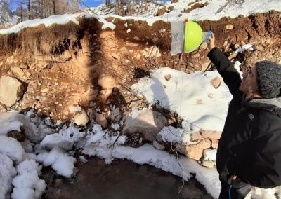
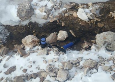
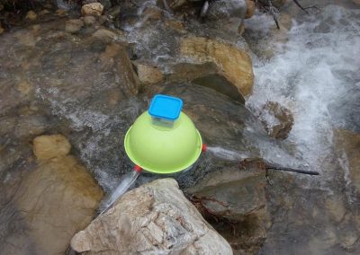
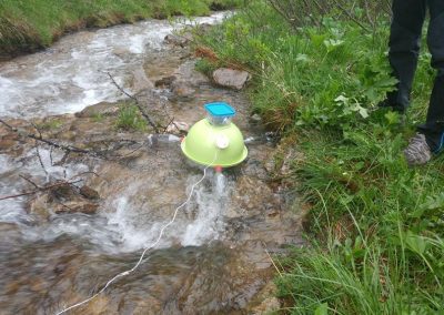
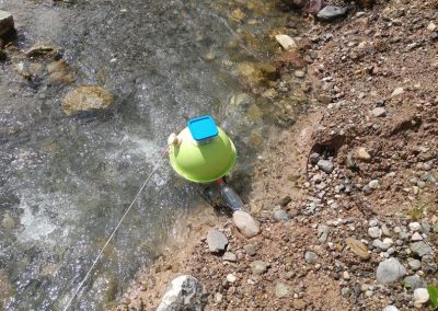
The project plans to analyze spatial and temporal patterns of water quality, and quantify in-stream biogeochemical processes such as carbon and nutrient retention/processing across the study sites. This will be done using
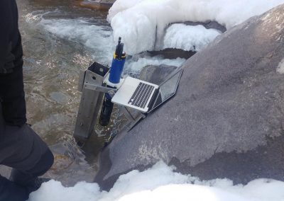
- fixed and mobile multi-parametric sensors designed to track high-frequency dynamics of relevant physical and chemical paramenters;
- isotopic analysis of automatically-collected water samples; and iii) carbon dioxide flux measurements from streams to the atmosphere.
LANDSCAPE AND GEOLOGIC CHARACTERIZATION
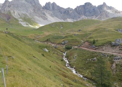
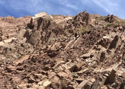
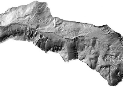
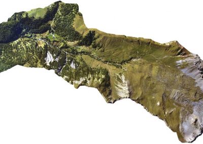
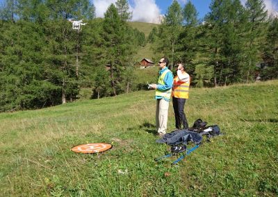
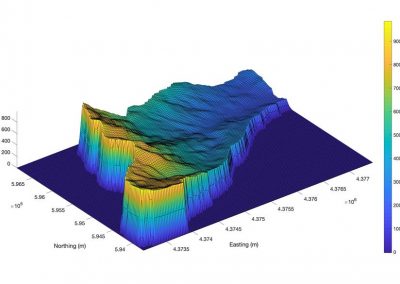
The morphology of the landscape, the land cover and the subsurface geological structure of the study sites have been characterized combining different types of technologies, including: ad-hoc high resolution (20 cm) digital terrain maps, air-borne ortophotos, satellite images and geophysical investigations (Electrical Resistivity Tomography)
CLIMATE AND HYDROLOGY
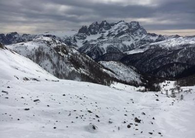
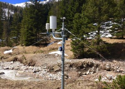
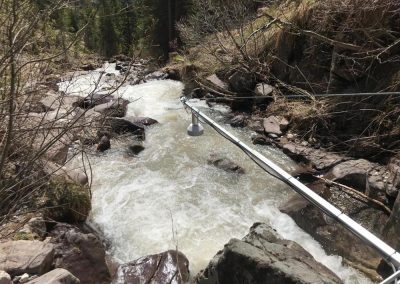
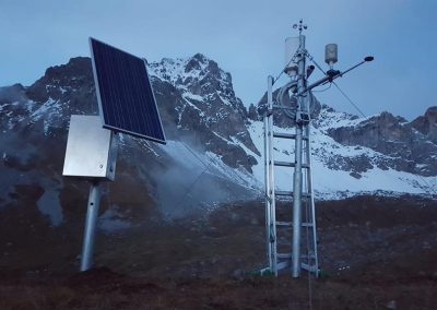
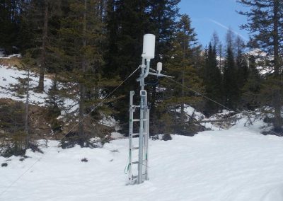
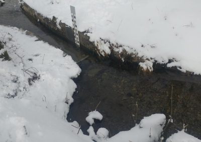
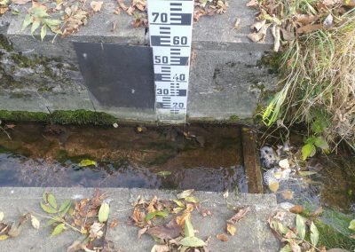
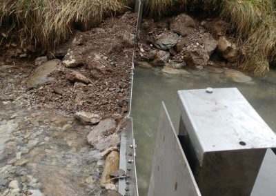
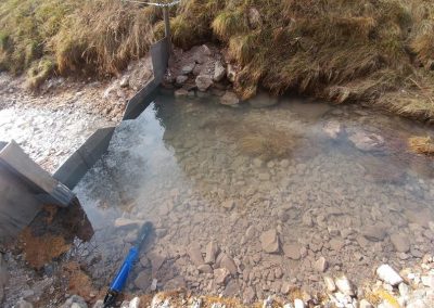
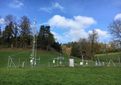
The climatic forcing is monitored via multiple climatic stations, equipped with a radiometer, a pluviometer for liquid and solid precipitation, an anemometer and an hygrometer. Discharges at different cross sections are also monitored either by means of suitable wiers or through stage measurments. Soil moisture patterns will be quantified using TDR and piezometers.
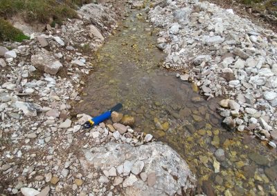
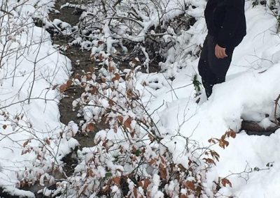
STREAM NETWORK MONITORING
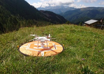
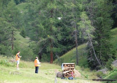
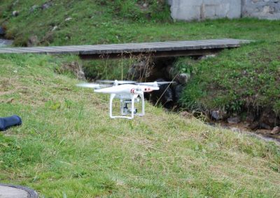
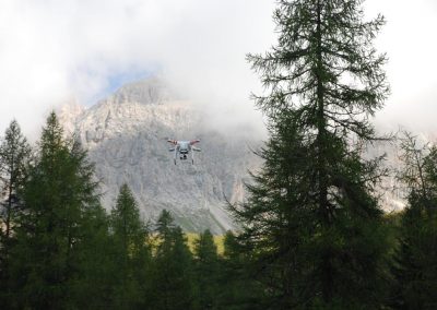
Expansion/contraction cycles of the stream network are monitored using different types of technologies, including thermal images taken from drones, water presence sensors and direct ground surveys. The project provides estimates of the degree of persistency of each river segment of the study sites.

